Background
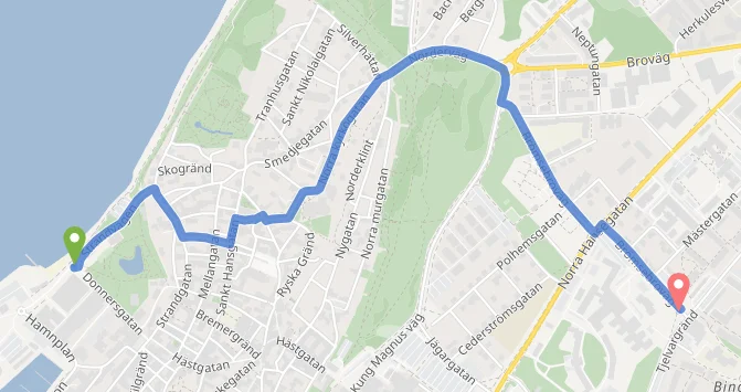
On Gotland the distances are long and the road network is thin. A detour discovered at the barrier is expensive exactly when time is scarce, and a fire engine cannot always turn round in a narrow street in Visby.
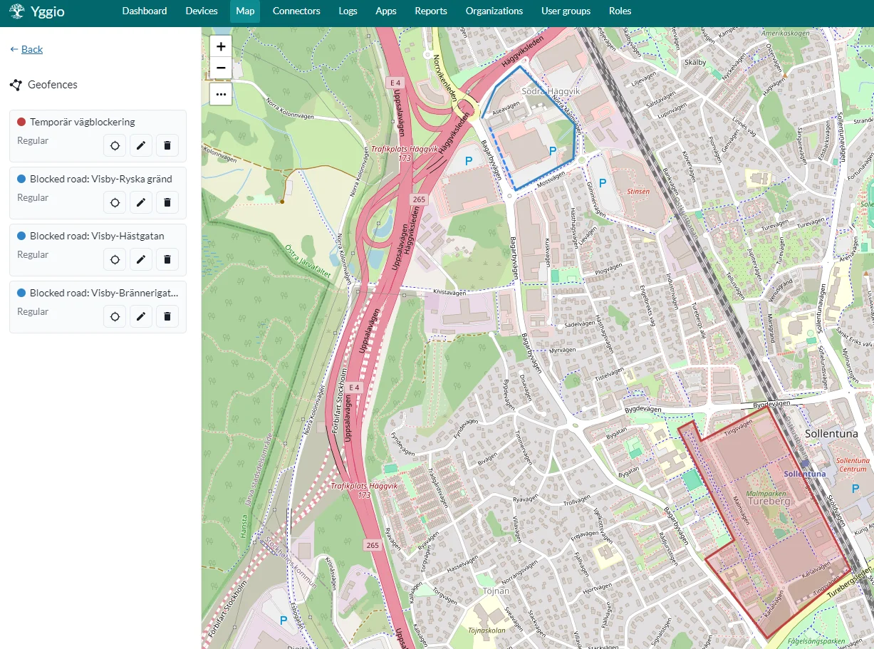
The information usually exists. Planned road works are approved weeks ahead and announced by email as a traffic arrangement plan: free text, a table or a PDF, in no standard format. Events such as Almedalsveckan and festivals close whole areas, seasonal outdoor seating narrows streets, and accidents close the usual routes without warning. What was missing was a way to get that knowledge into the route before the vehicle leaves the station.
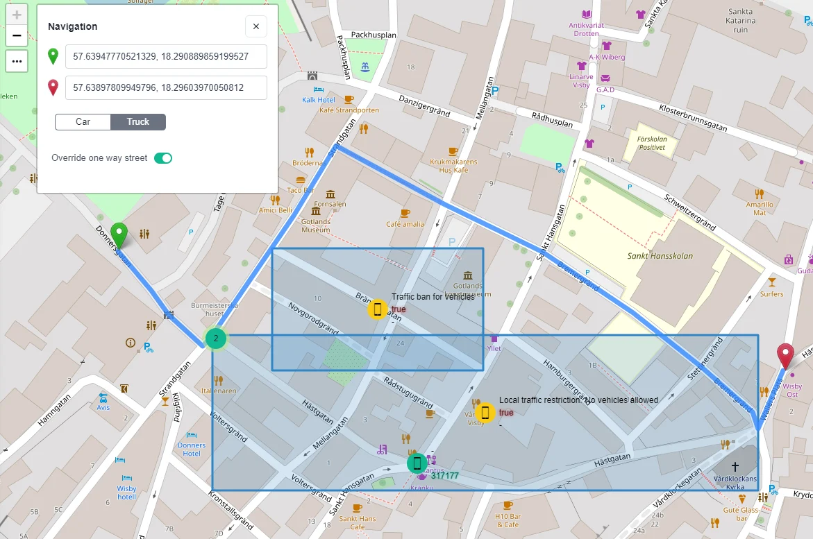
The requirements were clear: standard Yggio as the base; the fastest route past both planned and unplanned blockages; vehicles of different sizes, entitled to drive against one-way streets; and the route available over open APIs, so the existing blue-light systems can use it.